
Northern peninsula
Baja California
Urban border culture, wine country, Pacific ports and routes into rugged interior landscapes.
EnsenadaTijuanaOther placesDiscover cities, bays, islands, missions and coastlines across Baja California and Baja California Sur. Start with a region, then use practical guides to shape a route around distance, season and local conditions.

The peninsula’s two states reward different rhythms. Northern routes combine cities, vineyards and Pacific coast, while the south opens toward long desert stages, sheltered bays and tropical capes.
Urban border culture, wine country, Pacific ports and routes into rugged interior landscapes.
EnsenadaTijuanaOther places
Historic oasis towns, Sea of Cortez islands, Pacific lagoons and the dramatic capes of the south.
La PazLos CabosSan IgnacioUse these local hubs to narrow your reading and compare coastal character, activities and onward routes.

Understand migration seasons, the surrounding waters and the questions to ask before booking a wildlife trip.
Read the guide →
Approach the valley with time for its landscape, food culture and the practical details of moving between stops.
Explore wine country →
A starting point for understanding sensitive island environments, access and low-impact visits.
Read the overview →
Seasonal considerations and respectful practices for visiting a lively marine colony.
Plan responsibly →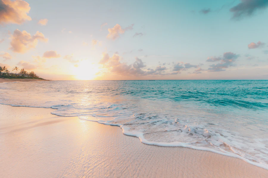
Compare exposed surf, broad sands and the planning considerations that come with remote coastal access.
Explore the coast →
Orient the two states, two coastlines and main travel corridors before dividing the drive into realistic stages.
Open the guide →Compare Pacific exposure with the generally different character of gulf-side bays.
Match heat, storms, wildlife and daylight with the activities you have in mind.
Allow realistic driving stages, fuel margins and time for slower roads.
Recheck access, permits, weather and services shortly before departure.
Additional perspectives on beaches, cities, culture and road travel around the peninsula.


The answer depends on your start point and planned stops, but distances are long and daylight matters. Avoid treating Highway 1 as a quick transfer; divide it into conservative stages with room for fuel, meals and changing road conditions.
The Pacific and Sea of Cortez sides have different weather, water and settlement patterns. Choose according to season and activity rather than assuming conditions will be alike across the peninsula.
Conditions vary by latitude and elevation. Cooler months often suit driving and hiking, while summer travel requires careful heat and storm planning. Wildlife experiences also follow specific seasons.
No. Save maps, reservation details and essential documents offline. Tell someone your route and expected arrival when crossing remote sections.
They can. Access rules, authorized activities and operator requirements vary by protected area. Confirm current requirements and follow guidance designed to limit wildlife disturbance.
Top up before remote stretches and do not depend on a single station when your tank is nearly empty. Availability and operating hours can change.
No. Bojainsider provides editorial context and planning prompts. Verify entry requirements, closures, permits, marine conditions and weather with relevant authorities before setting out.


