
Pack muling the Sierra de la Laguna
An introduction to the isolated southern range, its demanding terrain and the role of pack animals on longer backcountry journeys.
Read the guide →Explore desert canyons, granite ranges, palm oases and coastal paths—with practical context for heat, water, access and remote terrain.
Browse hiking guides
Four starting points for understanding Baja’s varied backcountry, from high mountains to seasonal water.
An introduction to the isolated southern range, its demanding terrain and the role of pack animals on longer backcountry journeys.
Read the guide →
Learn about canyon landscapes near Santiago, including seasonal water, rough approaches and conditions to verify before setting out.
Explore the waterfalls →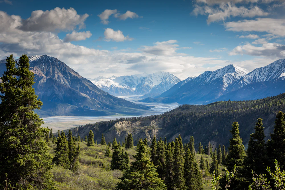
A look at remote Pacific island terrain where desert slopes, mountain views and ecotourism meet sensitive natural environments.
Read the island guide →
Review designated-use context for this protected island landscape and understand why current park guidance matters.
Review the map guide →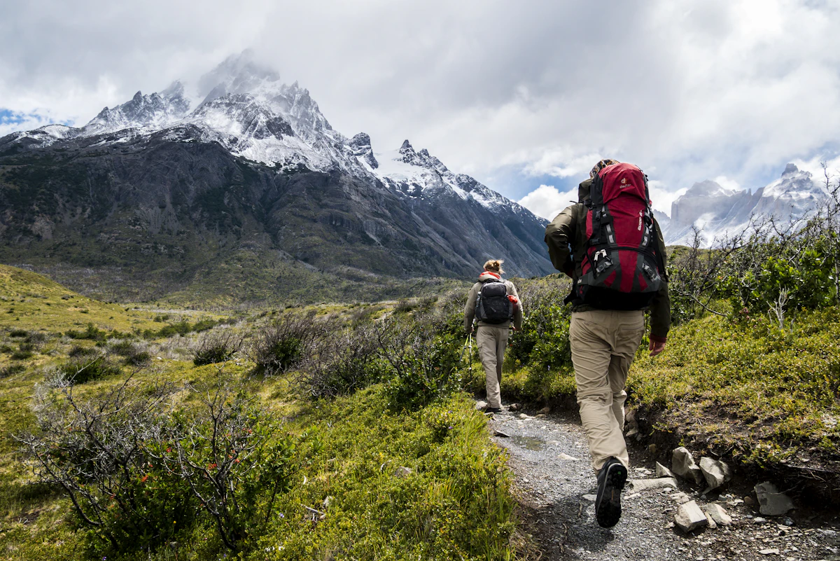
Distance alone does not describe the difficulty of a Baja hike. Heat, exposed terrain, scarce water, access roads and limited mobile coverage can transform a short outing into a serious backcountry undertaking.
Use a simple process that puts current conditions ahead of assumptions.
Match distance, elevation and exposure to the least experienced person in the group.
Check present-day permission, road conditions, protected-area rules and seasonal closures.
Allow extra daylight, water and turnaround time rather than relying on an ideal schedule.
Tell a reliable contact where you are going and when they should expect your return.


Cooler periods are generally more comfortable, but conditions vary by latitude, coast and elevation. Check a current, route-specific forecast and avoid exposed hiking during dangerous heat.
No. Springs and streams may be seasonal, contaminated or absent. Carry an adequate independent supply and treat any natural water before use.
Coverage may disappear quickly outside population centers. Download maps for offline use and leave a route plan with someone who is not joining the hike.
They may require permission, fees, guides or adherence to designated-use zones. Confirm current requirements with the responsible authority before departure.
Not necessarily. Loose rock, sand, exposure, route-finding and heat can make a relatively level route strenuous. Assess the complete terrain rather than mileage alone.
Turn around early, seek shade and monitor everyone for heat illness. A destination is never more important than returning safely.