Independent peninsula travel notes
Bojainsider
Clear, useful reading for traveling and living
across the Baja California peninsula
Maps of Baja

Map of the Baja California Peninsula

A geographic orientation to Mexico’s long northwestern peninsula—its two states, surrounding waters, desert regions and principal travel corridor.

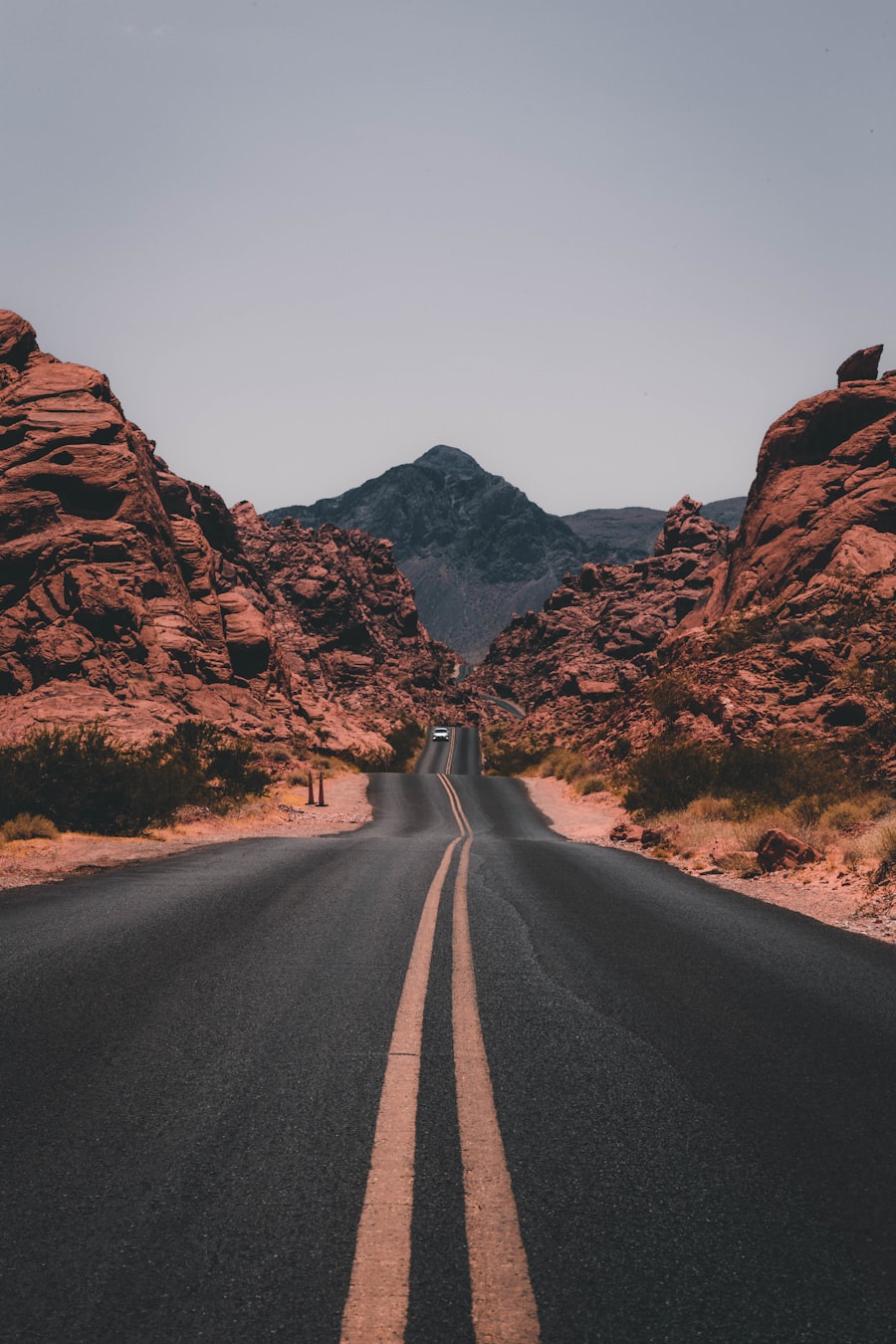
Open road crossing the arid landscape of the Baja California peninsula
Road maps are most useful when paired with current fuel, weather and road-condition checks.

Where the peninsula sits

The Baja California peninsula occupies northwestern Mexico, extending south from the international border toward Cabo San Lucas. The Pacific Ocean lies to the west, while the Gulf of California—also called the Sea of Cortez—separates most of the peninsula from mainland Mexico to the east.

Politically, the peninsula is divided into two Mexican states: Baja California in the north and Baja California Sur in the south. The state boundary crosses the peninsula near the Guerrero Negro area, a useful reference point for travelers making the full overland journey.

Two statesBaja California and Baja California Sur
Two coastsPacific Ocean and Gulf of California
Long and narrowDistances between regions are substantial
One main spineFederal Highway 1 links many key settlements

Reading a Baja map

The peninsula’s shape can make destinations appear closer than they are. A useful road map should show more than a straight-line distance: look for mountain crossings, junctions, settlements, fuel stops and the limited number of roads connecting the Pacific and Gulf coasts.

Highway 1 forms the principal paved north–south route for much of the peninsula. Secondary roads range from modern paved corridors to rough tracks, so a line on a map does not guarantee a fast or suitable passage. Consult current conditions before leaving a main highway.

A map is a planning tool, not a live conditions report.Carry an offline copy, but confirm road closures, storm impacts, fuel availability and access rules locally before each remote stage.

Major geographic regions

Northern border and Pacific cities

The most urbanized part of the peninsula includes the border corridor and the Pacific coast around Tijuana and Ensenada. This region has the peninsula’s densest road network and serves as a common starting point for southbound travel.

Central deserts and mountain crossings

South of the northern population centers, settlements become farther apart. Broad desert landscapes, volcanic terrain and mountain ranges shape the route. Four broad desert areas commonly associated with the peninsula are the San Felipe Desert, Central Coast Desert, Vizcaíno Desert and Magdalena Plain Desert.

Southern bays and cape region

In Baja California Sur, the route links communities including San Ignacio, Loreto and La Paz before branching toward the Pacific corridor and Los Cabos. The Cape Region forms the southern end of the peninsula around San José del Cabo and Cabo San Lucas.

Using the map for a road trip

  • Break long distances into daylight driving stages rather than relying on an optimistic total time.
  • Mark dependable fuel opportunities and top up before remote sections.
  • Save route information offline because mobile coverage is intermittent.
  • Carry water and allow extra time for roadwork, checkpoints and weather.
  • Check whether a secondary route requires high clearance or four-wheel drive.

For further planning context, browse Maps of Baja and the broader Driving Baja collection.
Route preparation

How to use this guide

Turn geographic orientation into a practical plan without treating a static map as live travel advice.

01

Choose your corridor

Identify the main highway and any coastal or mountain detours.

02

Measure realistic stages

Account for road type, daylight and stops rather than distance alone.

03

Mark essentials

Note fuel, water, lodging and places where service becomes sparse.

04

Check conditions

Confirm weather, access and road status close to departure.

Continue planning

Related reading

More maps of Baja →
Map questions

Before navigating Baja

Is Highway 1 the only north–south road?

It is the main continuous paved spine used for a full peninsula journey, but other highways and secondary routes serve particular coasts and regions. Their surfaces and services vary.

Can an online map be used without mobile service?

Only if the relevant area has been saved for offline use in advance. Carry a second navigation reference and do not assume continuous coverage outside population centers.

How should I estimate driving time?

Base it on road type, daylight, planned stops and current conditions—not distance alone. Remote sections can take longer than an urban map estimate suggests.

Where does Baja California Sur begin?

The state boundary lies across the central peninsula near the Guerrero Negro area. Road signs identify the transition between Baja California and Baja California Sur.

Are all mapped coastal roads paved?

No. Some are graded, sandy, rocky or seasonally damaged. Verify the current surface and vehicle requirements before using a secondary route.

What should I confirm before a remote stage?

Check fuel availability, weather, road status, daylight, water supplies and a reliable place to stop. Tell someone your intended route when traveling beyond regular coverage.