
Nine safer-driving essentials for Mexico
Prepare for local road conventions, long distances and the decisions that help make a peninsula drive more confident.
Read the road guide →Explore long coastal roads, protected islands, desert oases and wildlife-rich waters with practical preparation at the center of every journey.

Ground your plans in documents, road realities and seasonal conditions before choosing the scenic detours.
Prepare for local road conventions, long distances and the decisions that help make a peninsula drive more confident.
Read the road guide →
Documents and details to verify before departure.

What travelers can expect along the highway.

Why forecasts matter more than a calendar cutoff.
Seasonal encounters and sensitive environments require timing, distance and respect for local rules.

Learn how the season moves along the Pacific coast and what responsible observation looks like.
Read the guide →
Seasonal access, protected habitat and thoughtful behavior in the water near La Paz.
Explore the experience →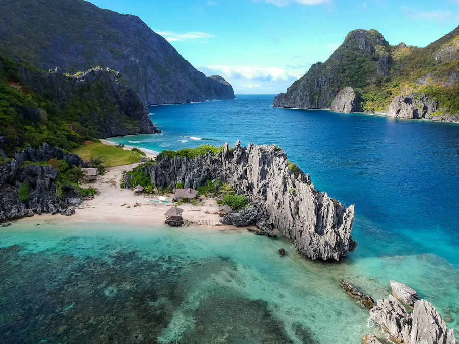
An introduction to a remarkable island landscape and the care required when visiting it.
Read the overview →Use these collections to move from broad inspiration toward a workable itinerary.
Orient long drives and remote stages before setting out.
Explore maps →Approach wildlife and protected areas with less impact.
Travel responsibly →Find hiking, snorkeling and whale-watching ideas.
Choose an adventure →Prepare for Highway 1, checkpoints and fuel planning.
Plan the drive →
Baja spans different coasts, latitudes and elevations, so there is no single best month for every trip. Choose timing around your intended route and activity.
Build from requirements and conditions rather than trying to fit every place into one trip.
Set a realistic geographic focus based on available time.
Verify documents, vehicle needs and official guidance.
Allow room for fuel, food, weather and unplanned stops.
Recheck forecasts, access and operating conditions.
The peninsula rewards fewer stops and longer stays. Distance alone does not reflect road conditions, fuel breaks, daylight or worthwhile detours, so build stages conservatively.
It depends on latitude, coast and activity. Cooler periods often suit road travel and hiking, while marine wildlife has distinct seasons. Check current regional forecasts before choosing dates.
No. Service may be limited between population centers. Keep essential documents and route details available offline and share your planned stages with someone you trust.
Plan fuel early, avoid ambitious night driving, expect narrow sections and allow extra time. Our driving FAQ provides a useful starting point.
Many sensitive marine and island areas have rules governing landing, anchoring, wildlife distance and authorized activities. Confirm current requirements for the exact area you plan to visit.
No. They provide editorial background and planning prompts. Always confirm entry requirements, permits, closures, safety notices and weather with the relevant authorities.