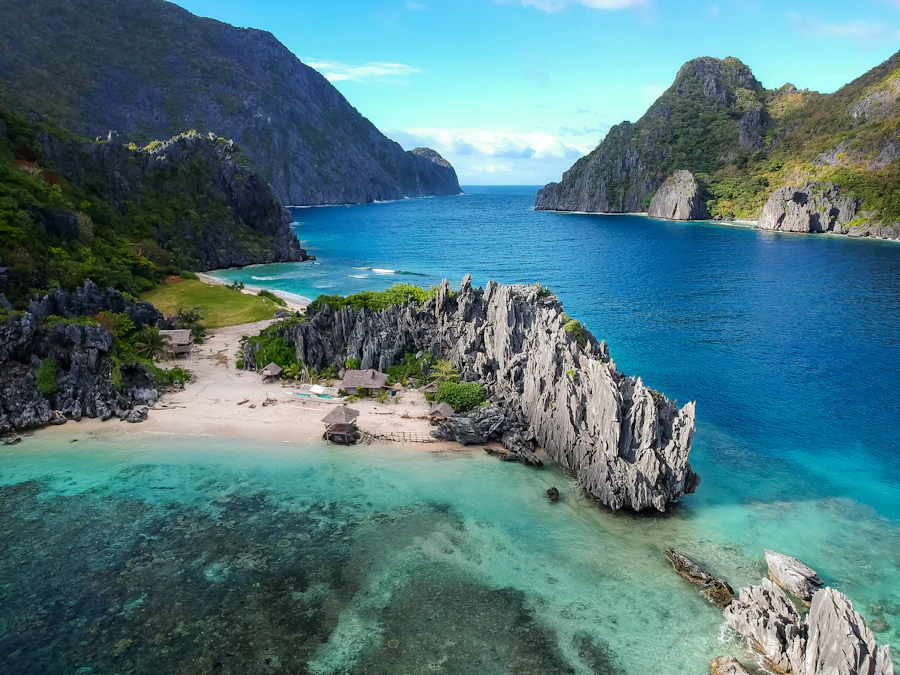
Baja California Sur’s Pacific shore ranges from immense, undeveloped strands to lively resort beaches. The scenery is exceptional, but the open ocean also brings powerful surf, cold currents, sudden drop-offs and stretches without lifeguards or services.
This guide moves south along the coast and focuses on what distinguishes each area. It is not a ranking: the best choice depends on whether the day calls for surfing, walking, snorkeling, easy facilities or quiet sand.
Before entering the water
Most beaches covered here should be approached as unsupervised ocean environments. Check posted warnings and local conditions, watch the water before entering, and never assume calm-looking water is free of rip currents. When uncertain, stay out.
Access, care and beach etiquette
Mexico’s shoreline includes a federal coastal zone, but the practical access route can vary where roads, concessions or development meet the beach. Use signed public approaches, respect protected areas and do not cross closed or private land to reach the water.
- Carry out all rubbish, even where bins are present.
- Leave shells, coral, sand dollars and other natural material in place.
- Keep vehicles off dunes, nesting areas and soft beach habitat.
- Do not rely on mobile coverage, shade, drinking water or restrooms.
- Confirm fire, camping, pet and protected-area rules locally.
Pacific temperatures and surf vary with the season, weather and exposure. Tropical systems can create hazardous swell even when they remain far offshore. Jellyfish and stingrays may also occur, so observe the shallows and follow current local guidance.

Bahía Santa María
Near the entrance to Bahía Magdalena, Bahía Santa María is the most remote setting in this guide. Its great arc of sand and protected anchorage have long made it familiar to cruising boats seeking shelter from Pacific weather.
This is not a casual roadside stop. Road access is absent, facilities are minimal or unavailable, and visitors must be self-sufficient. Cool water, isolation and changing marine conditions make local knowledge and proper passage planning essential.
Todos Santos and the Pacific corridor
The shoreline around Todos Santos combines dramatic sunsets, open-ocean surf and beaches that often meet deep water quickly. Punta Lobos and nearby coastal areas are compelling places to walk and watch the ocean, but not every beach is suited to swimming.
South toward the Pacific corridor, San Pedrito is known for surfing. Breaks vary by swell and season, and rocky entries or currents can make local advice particularly useful. Development has changed some approaches, so confirm the current public access route rather than relying on an old map.
Pescadero
The agricultural landscape around Pescadero reaches toward a long Pacific shore. Some sections remain lightly developed, while access can be less obvious among farms and newer construction. Use established routes and avoid blocking roads or gates. The beach is excellent for a long walk when conditions permit, though exposed surf deserves caution.
Cerritos Beach
Cerritos lies between Todos Santos and Cabo San Lucas and is among the region’s most approachable surfing beaches. The broad sand, ocean breeze and nearby services make it popular with day visitors, while the northern end is associated with beginner and intermediate surf when conditions cooperate.
“Beginner-friendly” never means risk-free. Wave size, current and shore break can change quickly. New surfers should use an appropriate lesson or local guidance, remain clear of experienced lineups and avoid entering during storm swell.

Land’s End and Lover’s Beach
Near Cabo San Lucas, Lover’s Beach is reached by boat and sits close to the granite formations at Land’s End. The setting is memorable, but arrival and departure depend on sea conditions. Agree clearly with the boat operator on the return arrangement before stepping ashore.
The Pacific-facing side is commonly called Divorce Beach. It can have forceful shore break, rapid depth changes and dangerous currents, and should be treated as a viewing and walking beach rather than a swimming location. Conditions on the more sheltered side can also vary.
Medano Beach
Medano is the social center of the Cabo San Lucas waterfront, with restaurants and water activities close at hand. It is markedly busier than the remote beaches farther north and has designated areas intended to separate swimmers from vessel traffic.
Stay within marked swimming zones and remain alert around watercraft. Heavy rain can affect nearshore water quality, while surf and undertow may strengthen in exposed sections. For visitors seeking quiet, this is rarely the first choice; for activity and convenient services, it is the coast’s clearest option.
The corridor toward San José del Cabo
Between Cabo San Lucas and San José del Cabo, long golden beaches are interrupted by rocky points and sheltered coves. Bahía Chileno and Bahía Santa María are widely used for swimming and snorkeling when the water is suitable. Formal access and facilities make them easier to approach than many exposed stretches.
Playa Costa Azul is associated with surf breaks including Old Man’s and Zippers. Parking and access can be busy or constrained, and the suitability of each break depends on experience and conditions. Keep valuables out of sight and follow posted parking restrictions.
Where the Pacific gives way to the cape
East of San José del Cabo, the shoreline gradually feels the influence of the Sea of Cortez. Much of it remains south-facing, however, and distant tropical weather can generate substantial summer swell. Access ranges from established beach entries to rougher tracks where a suitable vehicle and conservative judgment matter.
The farther reaches toward Los Frailes and Cabo Pulmo include environmentally sensitive landscapes. Follow signs, avoid dunes and nesting zones, and verify current protected-area restrictions before snorkeling, boating or camping.
Choose the beach for the day
For broad sand and accessible surf culture, consider Cerritos. For services and activity, Medano is the obvious choice. For coves and possible snorkeling, investigate current conditions at Chileno or Santa María. For solitude, plan carefully around remote stretches rather than improvising an access route.
Leave the coast better than you found it
The peninsula has an extraordinary amount of coastline, but remoteness does not protect it from litter, vehicle damage or disturbance. Pack out everything, secure lightweight items from the wind, clean up after pets and give wildlife ample space.
Bojainsider guides provide planning context rather than real-time safety advice. Before departure, verify weather, swell, road access, closures and protected-area rules with appropriate current sources.