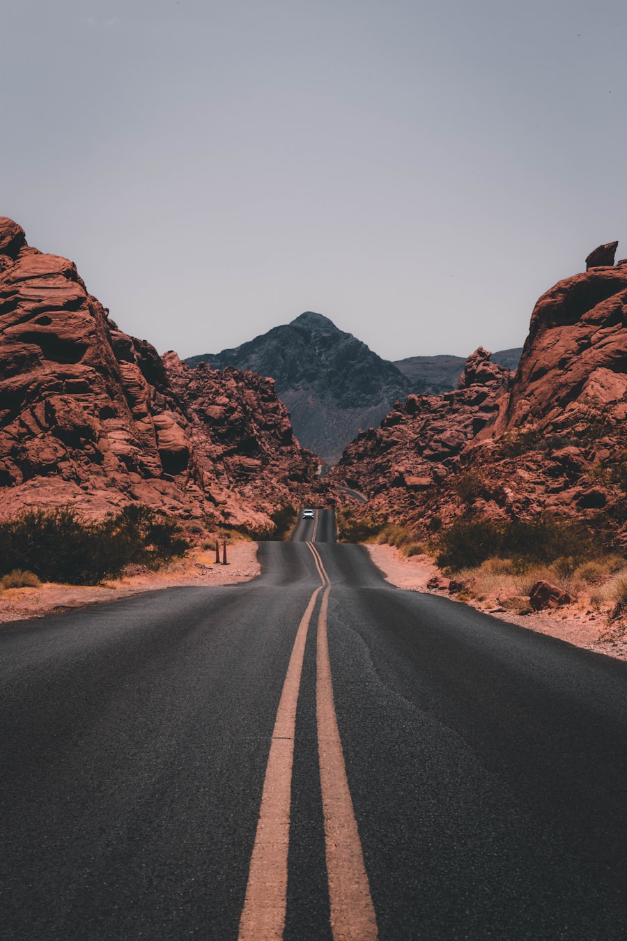
Use mileage as a starting point
Mexico’s Federal Highway 1 connects much of the peninsula, but a distance chart should not be treated as a promise of travel time. The road changes character repeatedly: urban traffic, mountain curves, narrow shoulders, construction and long remote stretches all affect the pace.
Plan each stage around daylight and conditions rather than the maximum distance your vehicle can cover. Breaks, fuel stops and unexpected delays should be part of the schedule from the beginning.
Approximate Highway 1 stages
This compact chart organizes common north-to-south stages. Figures may vary with the exact start point, bypasses and local routing.
| From | To | Approx. km | Approx. miles |
|---|---|---|---|
| Tijuana | Ensenada | 110 | 68 |
| Ensenada | San Quintín | 190 | 118 |
| San Quintín | El Rosario | 60 | 37 |
| El Rosario | Guerrero Negro | 360 | 224 |
| Guerrero Negro | San Ignacio | 145 | 90 |
| San Ignacio | Santa Rosalía | 75 | 47 |
| Santa Rosalía | Loreto | 200 | 124 |
| Loreto | La Paz | 355 | 221 |
| La Paz | Cabo San Lucas | 160–215 | 99–134 |
The final stage varies significantly according to the corridor selected. Review the route itself rather than choosing solely by mileage.
Why equal distances are not equal days
Road geometry changes
A straight valley section and a winding mountain section can cover similar mileage while requiring very different levels of concentration and time. Avoid using an average motorway speed for the entire peninsula.
Daylight matters
Night driving reduces visibility and makes animals, road damage and unlit vehicles harder to see. Choose an overnight stop that leaves a generous daylight margin instead of aiming to arrive at sunset.
Fuel spacing can change
Top up before remote stretches, even when the gauge suggests you could continue. Stations can close, run short of fuel or operate on schedules that do not match an online listing.
Stops are part of the route
Food, rest, roadwork and checkpoints add time. Keep documents accessible and approach every controlled stop slowly and attentively. For more context, read handling checkpoints when driving in Mexico.
Build a safer daily stage
Start with the destination where you want to stop, work backward from daylight, and then assess fuel and rest opportunities. A shorter day that ends early is often more useful than a long day that leaves no margin.
- Save the route for offline use before leaving reliable service.
- Check the spare tire, tools, fluids and tire pressure.
- Carry drinking water and essential supplies.
- Tell someone the day’s intended destination and expected arrival window.
- Reassess the plan when weather, fatigue or road conditions change.
For broader preparation, see the nine driving safety tips and Baja driving FAQ.